


Banks of the River
Rivers and banks go hand in hand so you can imagine the scenes at PPS Towers when we were commissioned for a job in Banks, Lancashire.
The excitement levels rose with the manner of the job too – this was a commission with a difference.
Typically speaking, a four day job will take us a few miles along a river, but this particular job was centred around a 500 metre section.
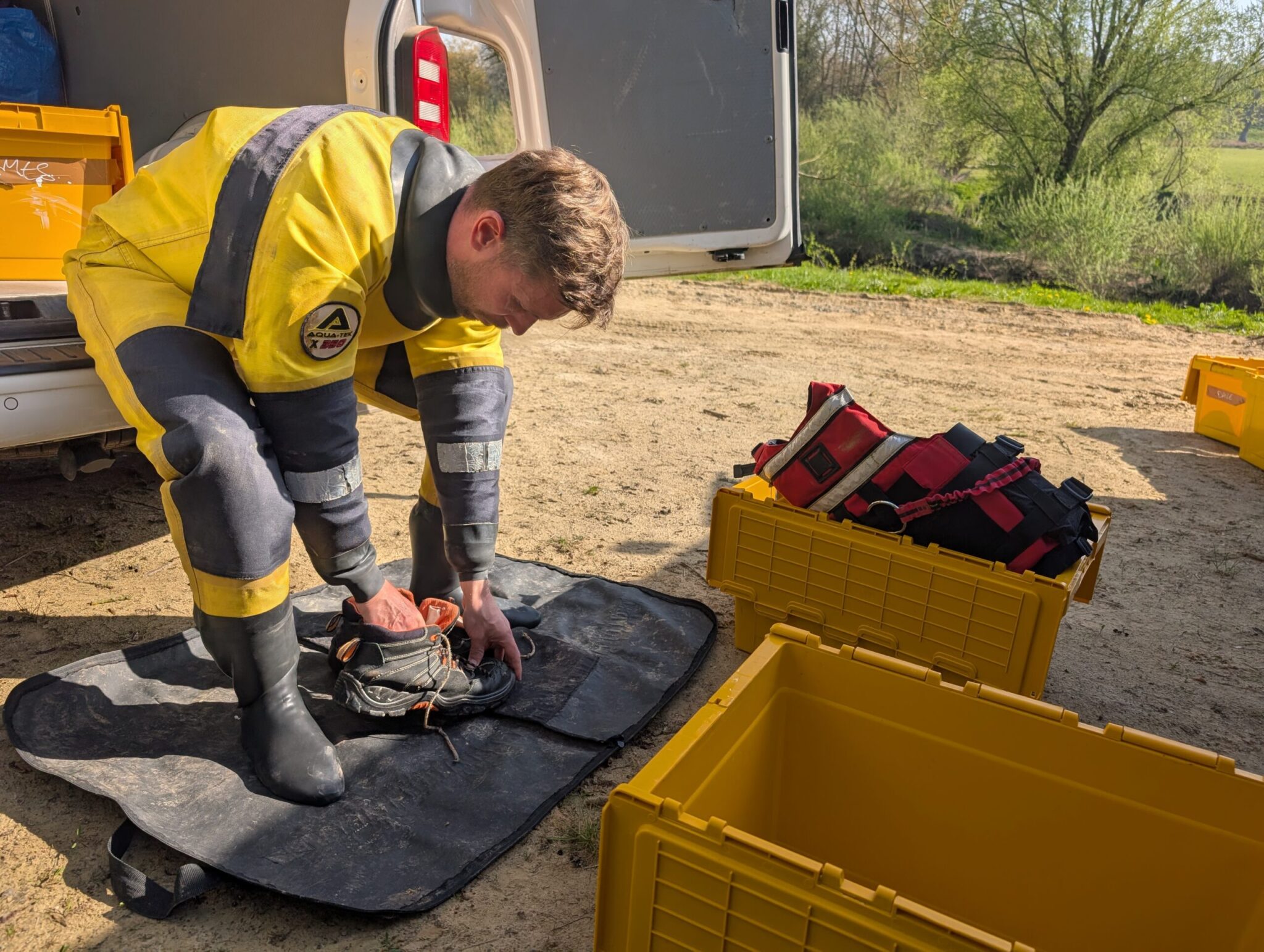
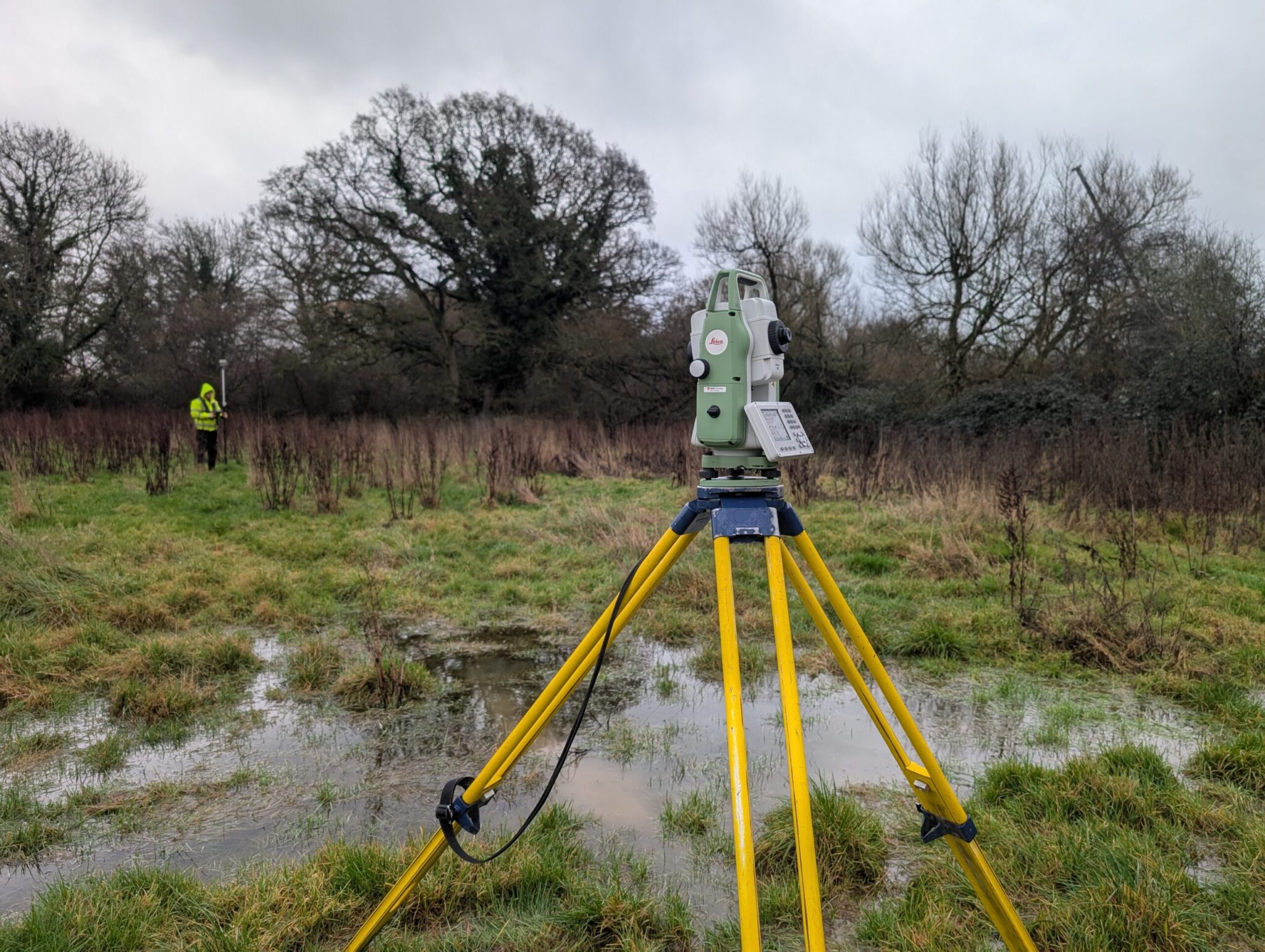
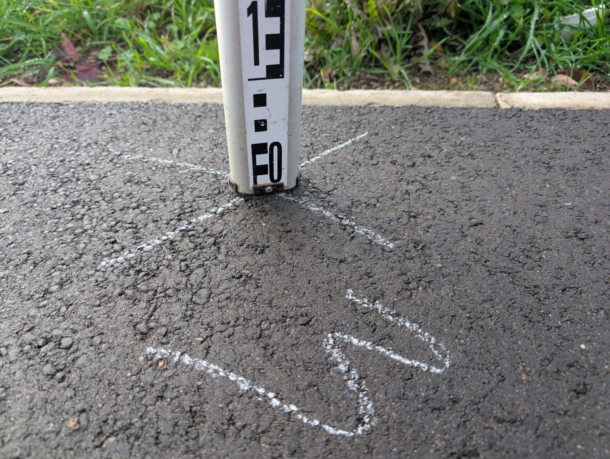
The scene was quite simple – two bodies of water divided by a middle bank. Our task was to undertake a topographical survey of the middle bank that separated The Sluice and Back Drain, from the A565 up to a disused railway structure.
This was to ascertain where the slips and failures were within the bank and to ensure that it is an adequate flood defence for the two bodies of water.
Additionally, we observed a bolt on the former railway structure for three hours using static observations. This involved plenty of patience and once, the time and site work had elapsed, the information was processed at the aforementioned PPS Towers to get the final coordinates. The bolt can now be used as an Environment Agency Benchmark (EABM) for the site.
Furthermore, we undertook cross sections across The Sluice and Back Drain every 20 metres at the site. Surveyors ensured the cross sections spanned across both watercourses. Collecting data on the river banks, within the bed and over the middle bank meant the modellers had detailed cross section drawings to work with.
There was just about enough time in the evenings for us to take a look around nearby Southport whilst we were on the job, although watching Arsenal’s defeat to Manchester City did not go down very well here at PPS…